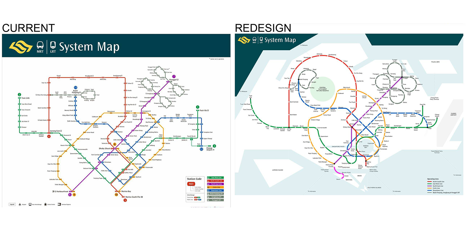
This is the MRT map that Singaporeans are familiar with:
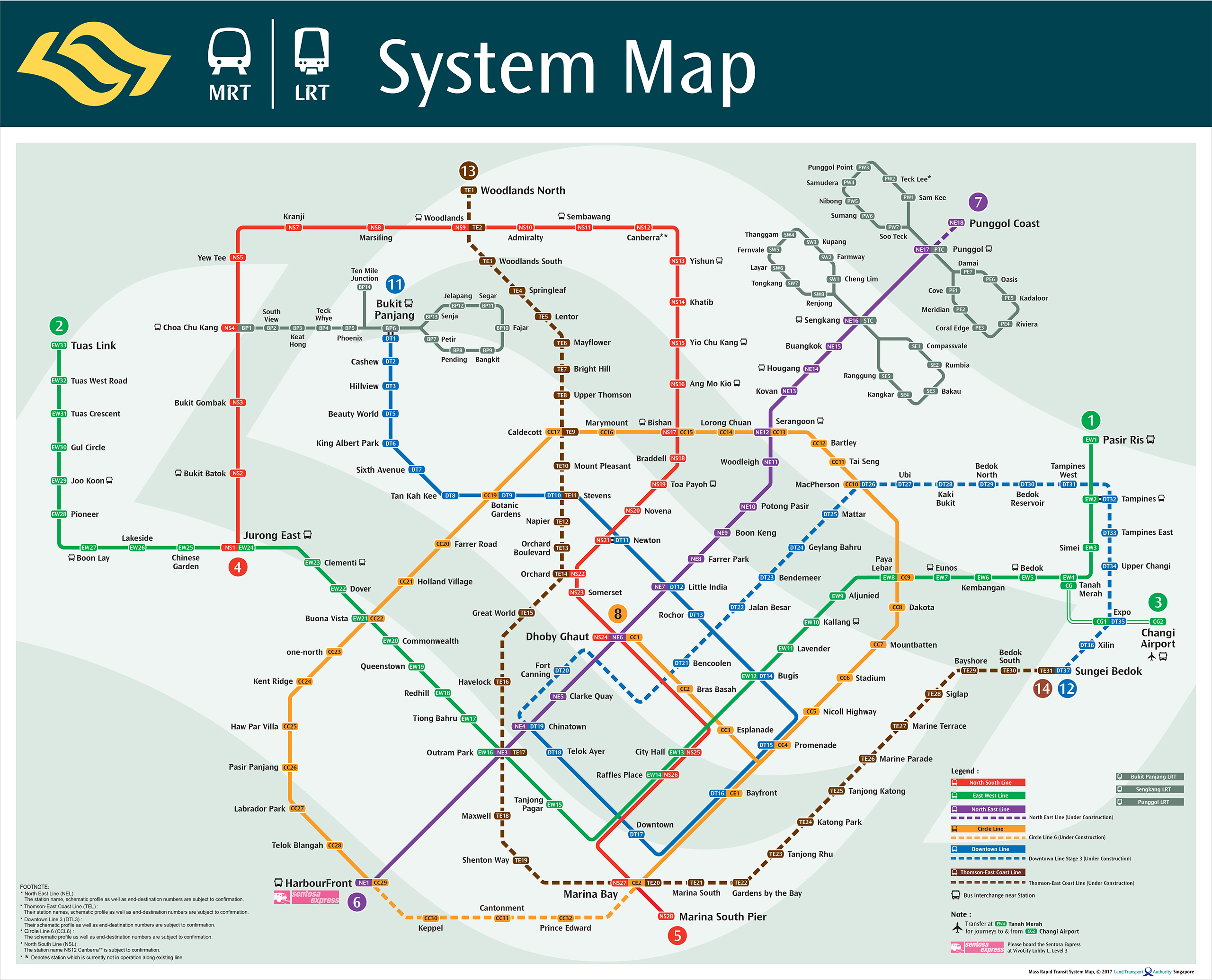 Via LTA.
The current octolinear design (one with horizontal, vertical, and 45 ̊ diagonal straight lines) is generally thought to be easier to use.
At some point, however, you might have noticed that it is not geographically accurate.
After all, Kranji, Woodlands, Sembawang, and Admiralty don't lie on an East-West axis. Neither does the entire Tuas West extension sit in a straight line in the west.
One designer, Cliff Tan, has fixed that with his redesigned MRT map:
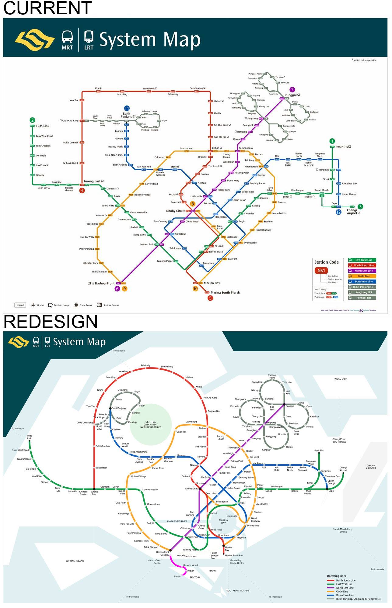 Via Cliff Tan.
With this redesign, Clarke Quay is actually south of City Hall, Kranji and Admiralty no longer run along the same axis, and the Circle Line is finally more of an actual circle
Tan's take on the MRT map strikes a balance between making it easy-to-read and staying geographically faithful.
In his post, Tan said that he wanted to make the MRT map more geographically accurate. He also added the Central Catchment Nature Reserve, Marina Bay, and the Singapore River so that commuters can better place themselves on the island.
Tan's map was very well-received. As of the time of this article, his post had gathered over 1,400 reactions and over 1,700 shares.


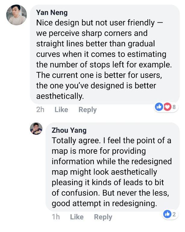
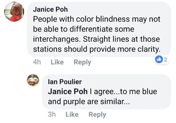
You can read Tan's post below:
Here's an MRT map which is 100% geographically accurate:
Top images via Cliff Tan. Comments from Tan's Facebook post.
Content that keeps Mothership.sg going
??
“When you’re volunteering you’re not only helping the senior but also helping yourself”, said this Singaporean volunteer.
??
These celebrities did not sleep for 60 hours. Just because they FOMO.
??
They probably wouldn't mask the smell of a rude dude's fart, but these instagrammable train carriages are definitely a breath of fresh air.
?️?
You probably know "Speak of Cao Cao, and Cao Cao arrives". But did you know he sometimes arrives in a Gundam suit?
???
Should calories go to your waist or your waste? (The right answer is "neither")
If you like what you read, follow us on Facebook, Instagram, Twitter and Telegram to get the latest updates.
