Sometimes trawling the National Archives can lead to some pretty interesting finds.
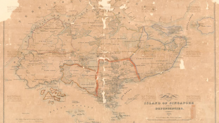
Like this 1885 map of Singapore titled, "Island of Singapore and its Dependencies".
Before HDB flats were a thing, you could name an entire estate after yourself.
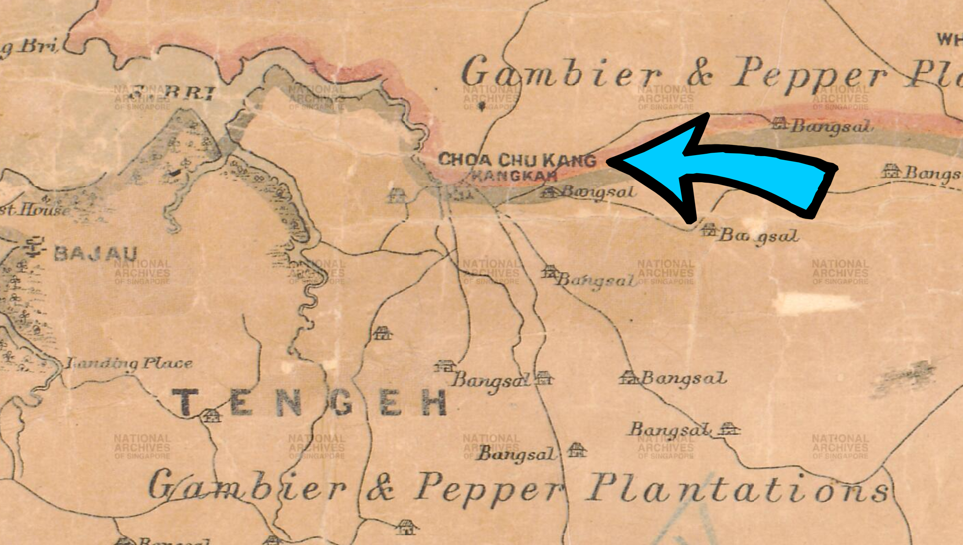
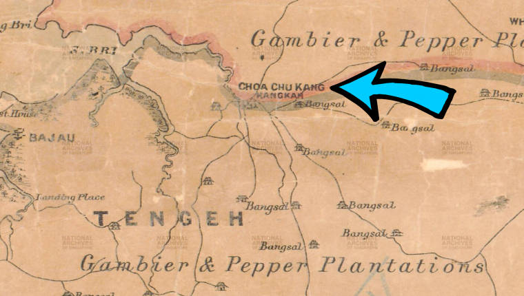
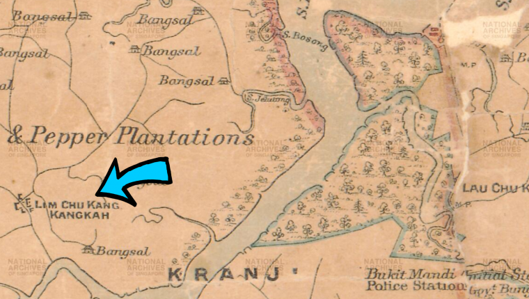
That was why many of the river settlements got their names such as Choa Chu Kang, Lim Chu Kang, and Yio Chu Kang.
What is a "Chu Kang"?
By mid 19th century, many Chinese settlers had arrived in Singapore and set up their villages across the island, many along rivers in the north.
Chinese immigrants called these places kangkar, meaning the land around the riverbank, river mouth or literally "river's leg" in Teochew.
These villages were named after the Chinese clans that controlled the part of the river they settled on -- a practice common in China.
The head of the clan would be called a kangchu (港主), and the river settlement that he heads would be called a chukang (厝港).
For example, Choa Chu Kang was named after the Choa clan, which settled near the Berih River (Sungei Berih).
Some speculate that the area was named "Choa Chu Kang" because the Choa clan built their house (chu) on the banks of a river (kang).
"Chu" is the word for "clan" or "house", so Choa Chu Kang may mean "Choa clan river".
All speculative, nothing definitive.
Other Chu Kangs
Lim Chu Kang, located near the Kranji River (Sungei Kranji), was founded by Neo Ao Tiew, a Chinese businessman and philanthropist from Fujian.
This village was controlled by the Lim clan.
There are other Chu Kangs other than Choa, Lim, and Yio that we know today.
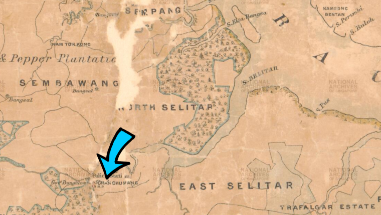
Chan Chu Kang was located on a tributary off the Seletar River (Sungei Seletar).
This village later developed into Nee Soon Village.
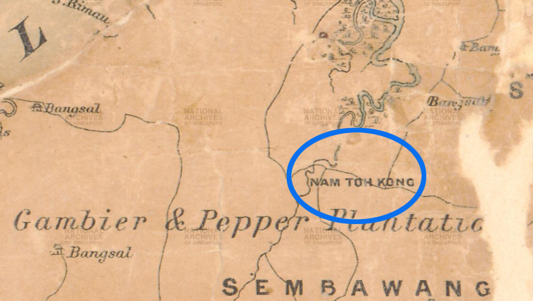
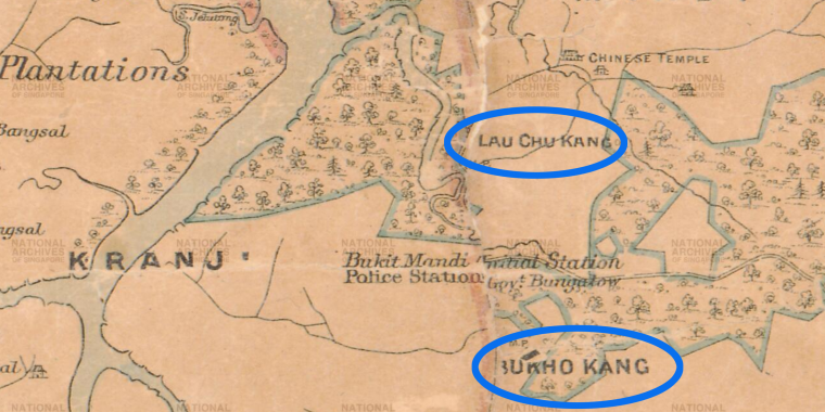
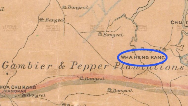
Other interesting river settlements can also be spotted on the map.
These were settlements with unfamiliar names, such as Nam To Kang (present-day Sembawang), Lau Chu Kang (Sungei Kadut), Bu Kho Kang (Mandai), and Wha Heng Kang (Old Choa Chu Kang Road).
Other interesting finds from this 130-year-old map
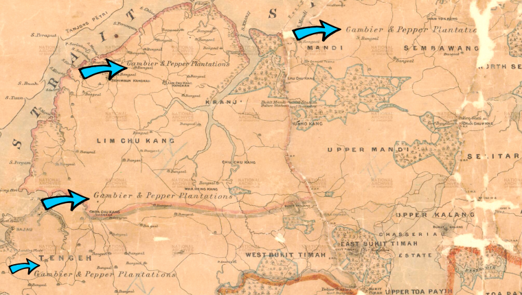
The map also offers other interesting details, such as the abundance of gambier and pepper plantations.
When Raffles landed in Singapore in 1819, the British counted 20 gambier plantations on the island.
This number likely excluded the plantations in the interior and north of the island which were difficult to find.
Gambier is a tropical shrub and it is used in tanning, dyeing, and herbal medicine.
By 1855, the British had a better idea of how much gambier and pepper was being grown on the island, as seen below.
Take your time with the map and check out the rich detail it offers.
Look closely and you might spot some gems, including the group of islands that would become Jurong Island some 130 years later.
All photos adapted from National Archives Online.
 #SG200 is not a celebration. It's a commemoration. What's the difference? Click the logo. Maybe these articles might help.
If you like what you read, follow us on Facebook, Instagram, Twitter and Telegram to get the latest updates.