In recent months, Google rolled out its super-chio 3D function on its Maps:
This feature has been on Google Earth for years, but now that it's on Maps, you can now do this:
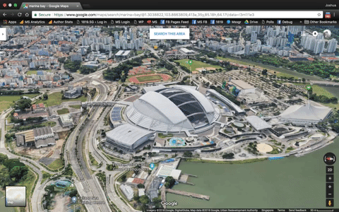
In April, Google announced that they had updated more than 400 cities and metro areas with high-resolution 3D imagery, resulting in maps that give you a pretty impressive level of detail:
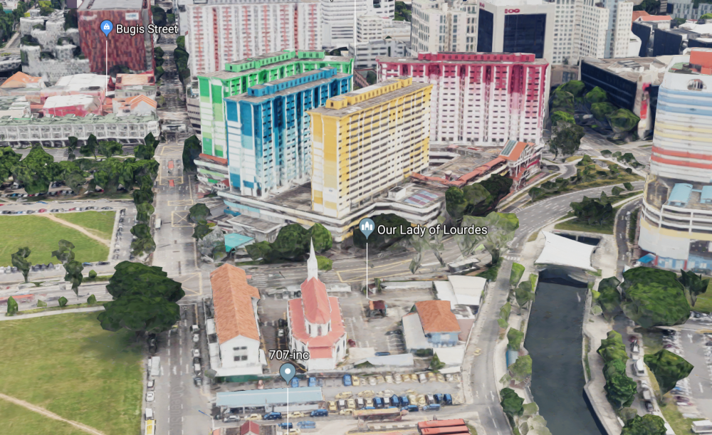
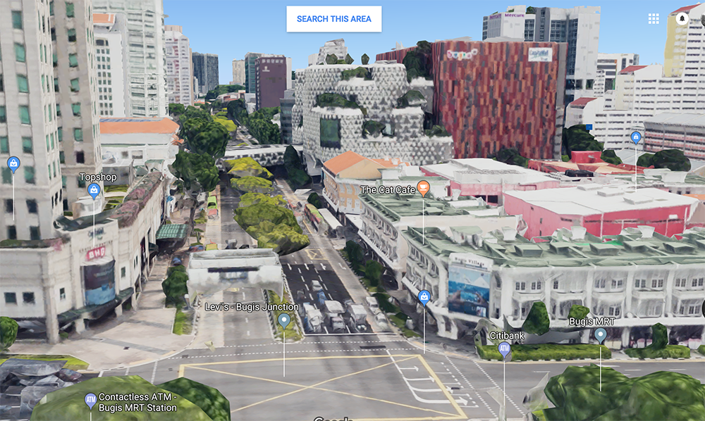 This is Bugis. Even in a 3D render, you can't escape the ERP.
[related_story]
This is Block 202 in Serangoon, with NEX in the background:
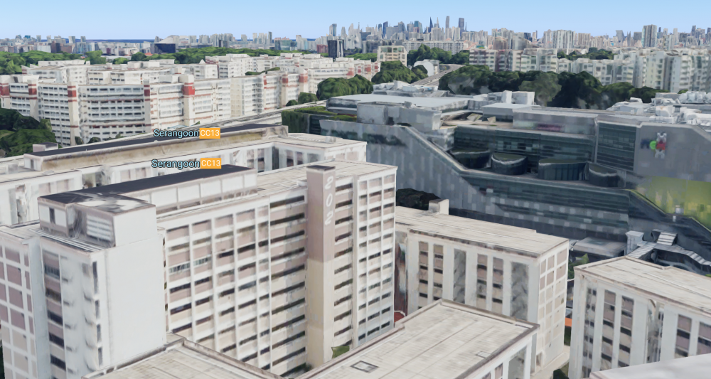 Possibly the closest you can get to fulfilling your stalker fantasies.
Some places still only visible in 2D
Not every inch of our island is in 3D though. The city centre is rendered beautifully, as well as areas radiating outwards, as far as Ang Mo Kio in the north, Geylang Serai in the east, and The Interlace condominium towards the west.
But as we expected, sensitive structures such as Parliament House, Supreme Court, the Istana, and some national monuments are also left as two-dimensional plots, possibly for security reasons.
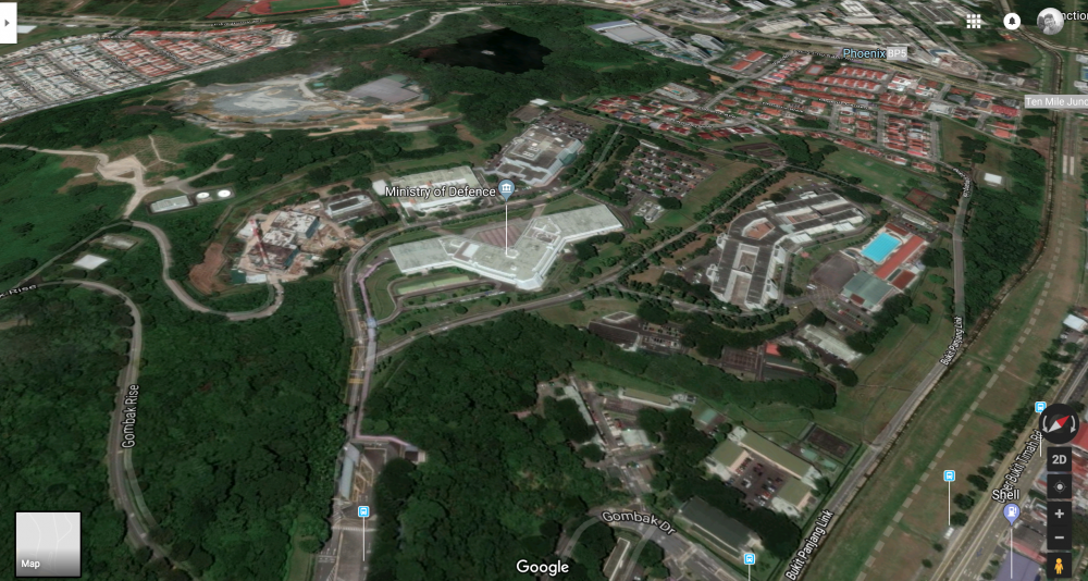
Armed Forces camps are also not rendered in 3D. This is the Ministry of Defence and Hillview Camp:
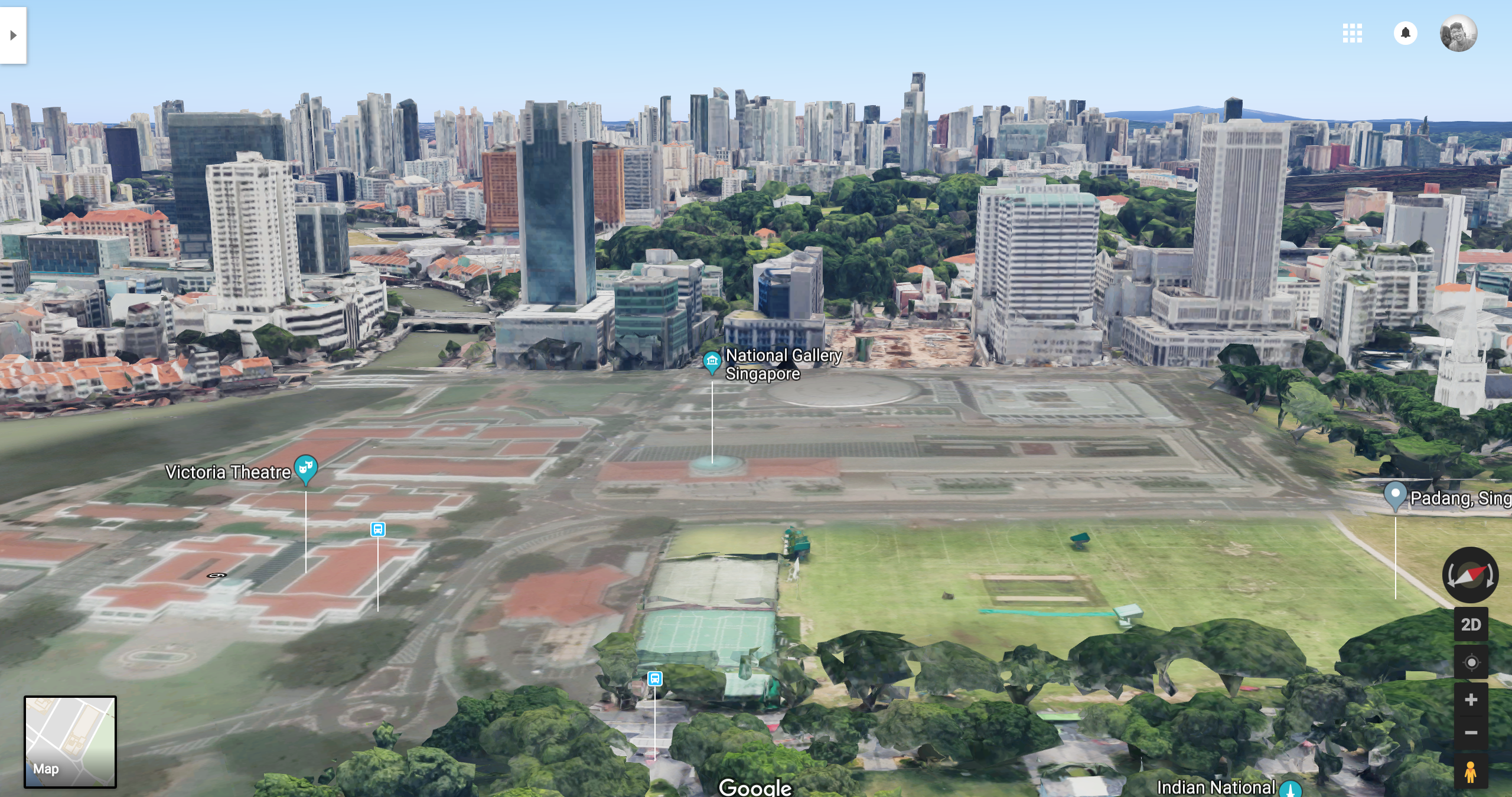 The Victoria Theatre and National Gallery are visibly flattened.
In the meantime, here are some screenshots we took while exploring virtual Singapore:
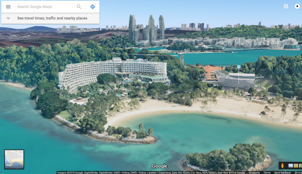 The Shangri-La Rasa Sentosa.
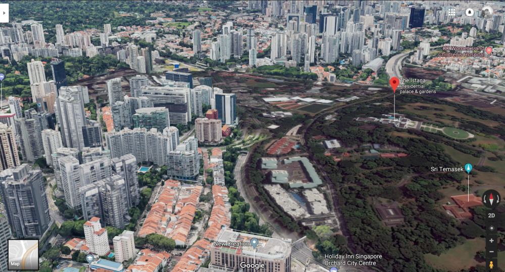 The Istana.
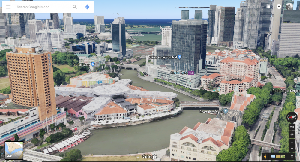 Clark Quay Central and Novotel along the river.
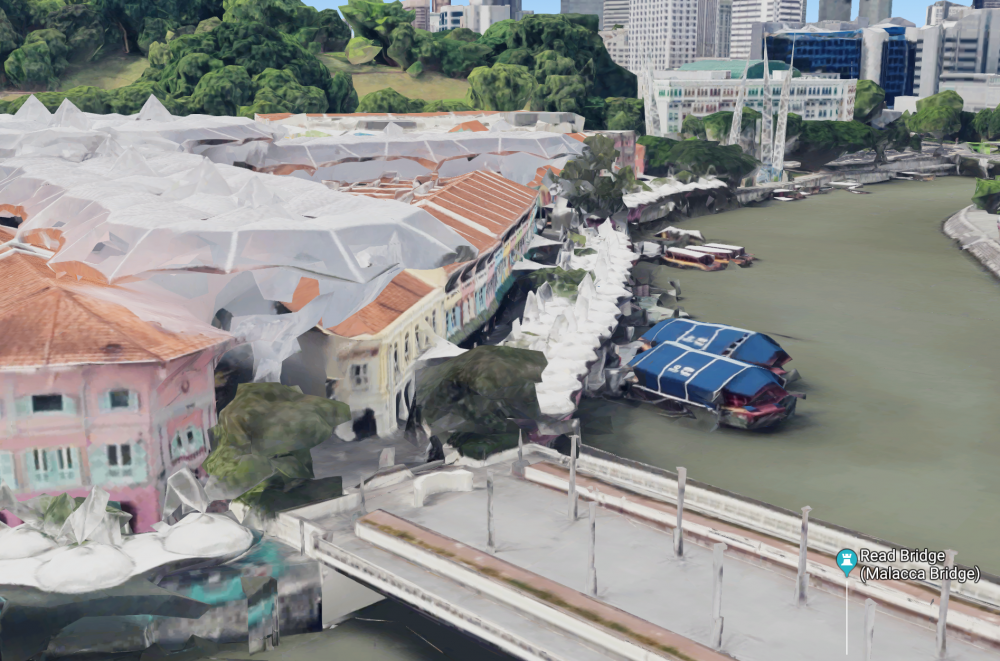 If you zoom in, you can even see the little bumboats.
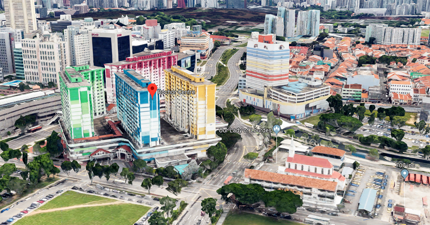
 Rochor Centre, which is currently being demolished.
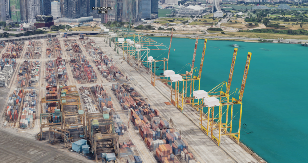 The Tanjong Pagar Terminal.
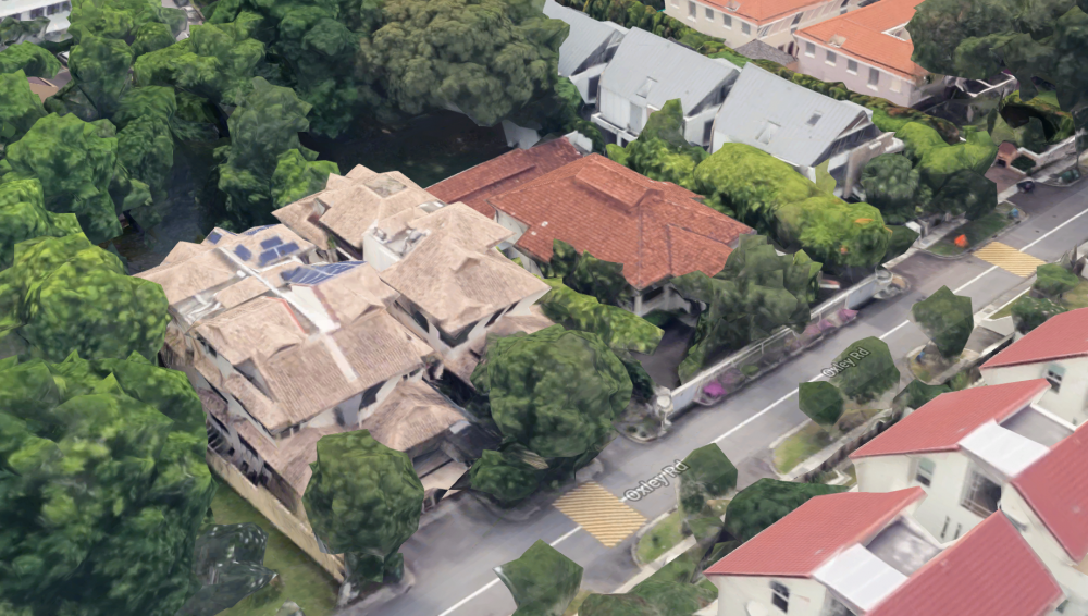 38 Oxley Road, which is interestingly not flattened.
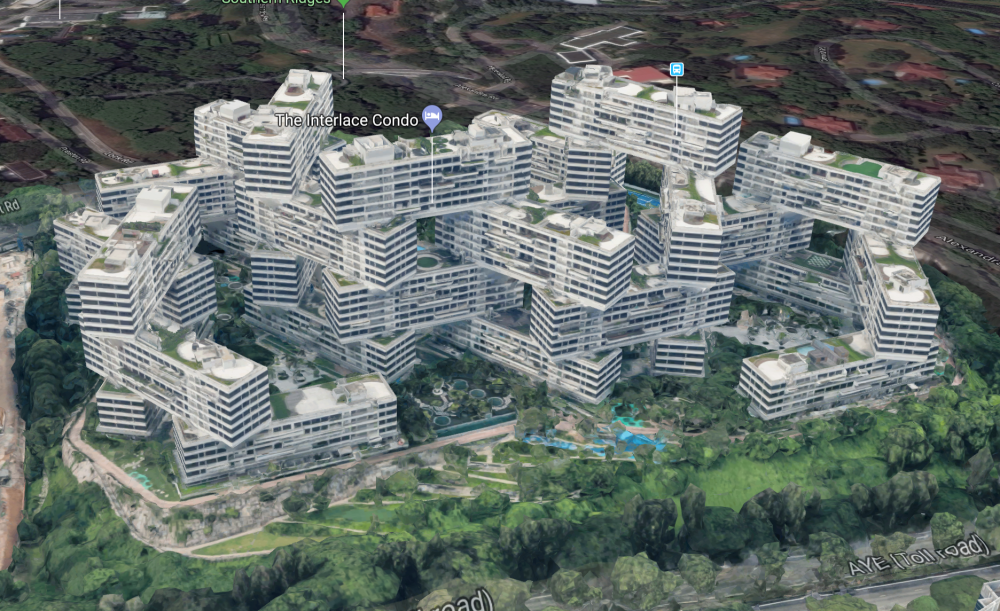 The Interlace.
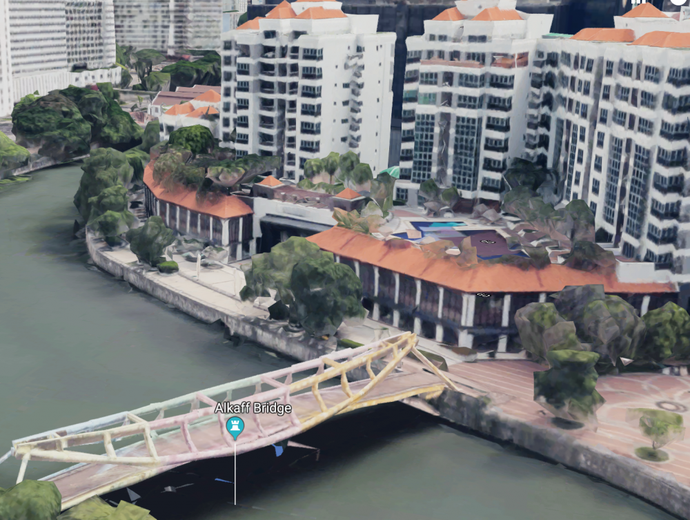 The Quayside at Robertson Quay and Alkaff Bridge.
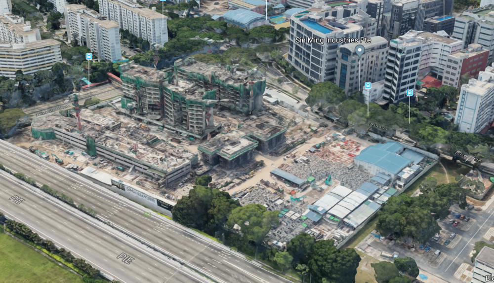
There's even a construction site rendered in 3D. This site is currently a condominium, which tells us that the render was probably done a couple of years ago.
To explore Singapore in 3D, you just need to click on the 2D/3D toggle button on the bottom right-hand corner of the map, below the compass. Use your mouse to move around as you would in the normal 2D map. Press and hold the "control" button on your keyboard to toggle altitude.
Just one note: users have reported that the 3D mode does not appear in Safari browsers. Currently there appears to be no solution for this problem; it looks like 3D maps are best experienced on Google Chrome instead.
Happy exploring!
All images via Google Maps.
If you like what you read, follow us on Facebook, Instagram, Twitter and Telegram to get the latest updates.