Follow us on Telegram for the latest updates: https://t.me/mothershipsg
The Changi Bay Park Connector (PCN) was open to the public on Jan. 22.
Changi Bay PCN looks like Jeju Island
Because Changi Bay is located near the coastline, you see much less of the concrete jungle that Singapore is famous for.
And at the right moment, when the sunrise, sea breeze, and gently-manicured greenery come together, it almost looks like the famed Jeju Island that appears in every other K-drama.
Check out these photos that cyclist Tiffany Tan took during a recent trip to Changi Bay PCN and shared in the SG PCN Cyclist Facebook group.
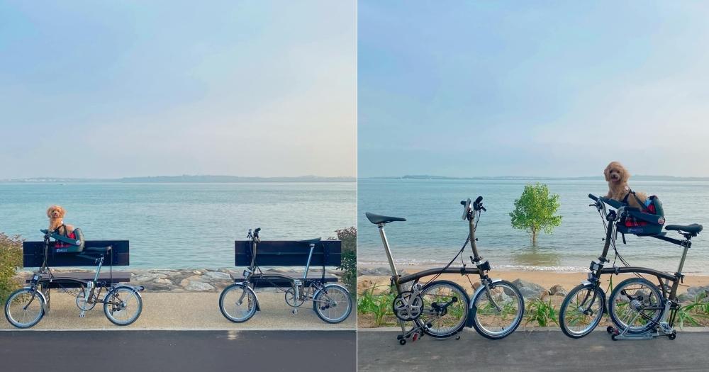
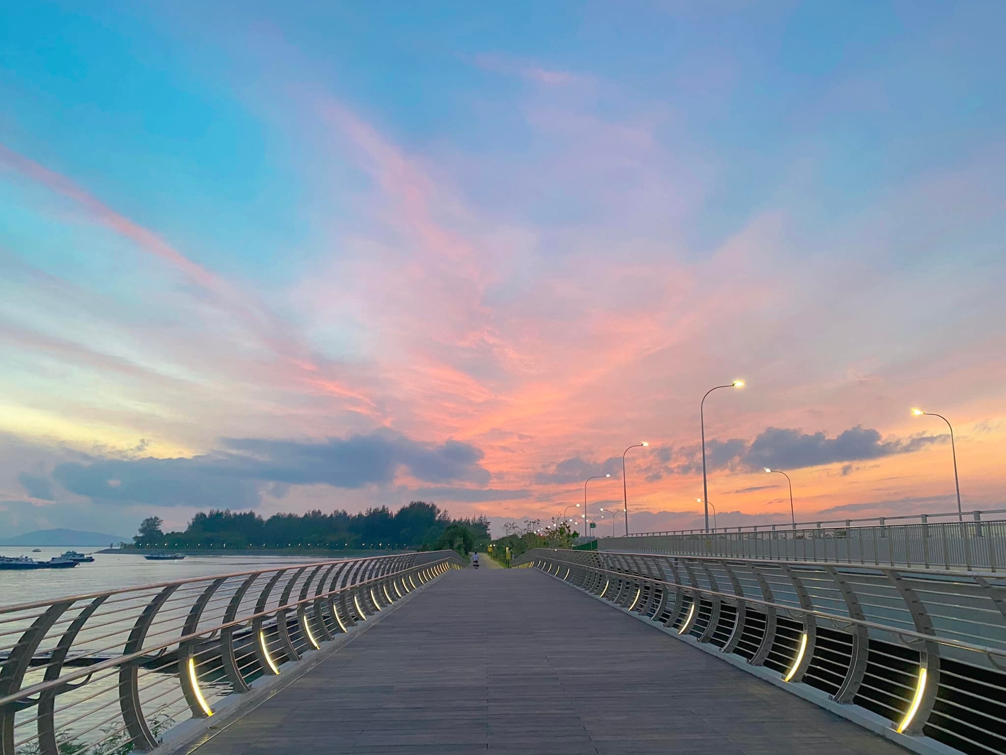 Image by Tiffany Tan from SG PCN Cyclist/Facebook.
This above is one of two cycling bridges that connect Changi Coast Road and Tanah Merah Coast Road at Changi Bay Point. These bridges are around 80m-long and overlook the water.
Responding to other cyclists, Tan said she started her morning journey from East Coast Park and cycled along Tanah Merah Coast Road before reaching Changi Bay PCN at around 6:30am.
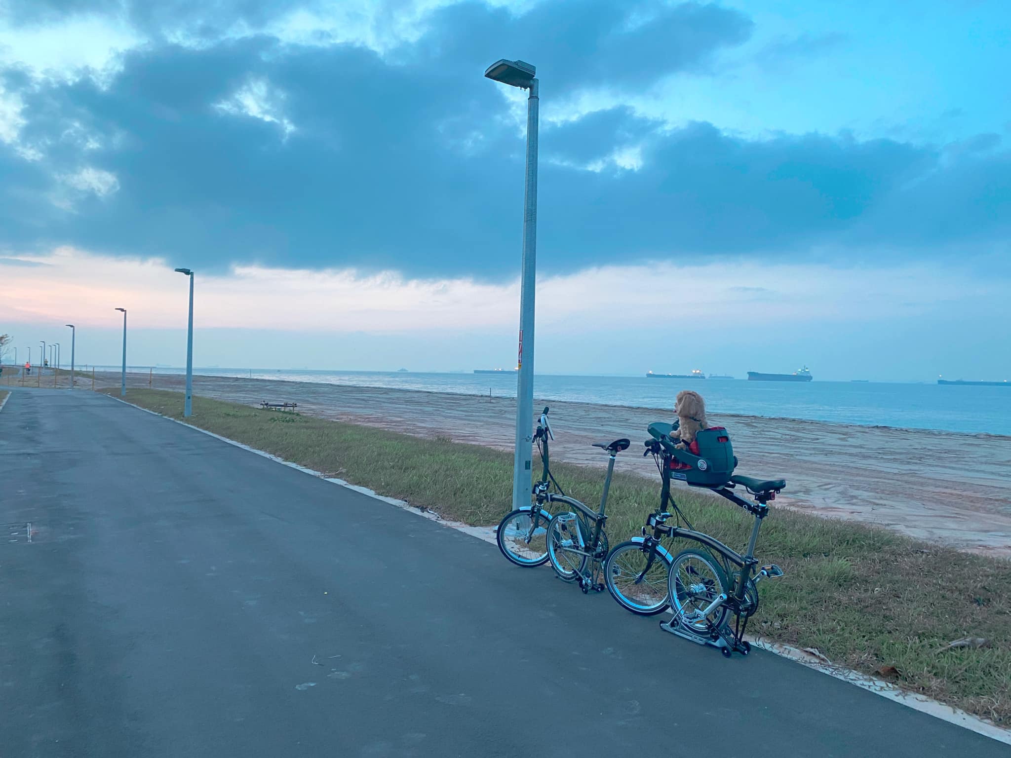 Image by Tiffany Tan from SG PCN Cyclist/Facebook.
There are boardwalks and lookout points along Changi Bay PCN, as pictured by Tan.
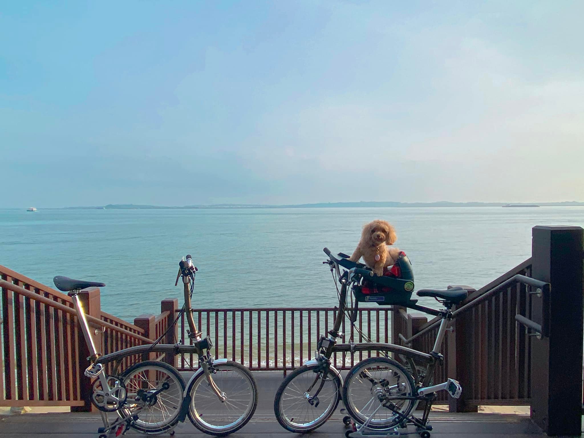 Image by Tiffany Tan from SG PCN Cyclist/Facebook.
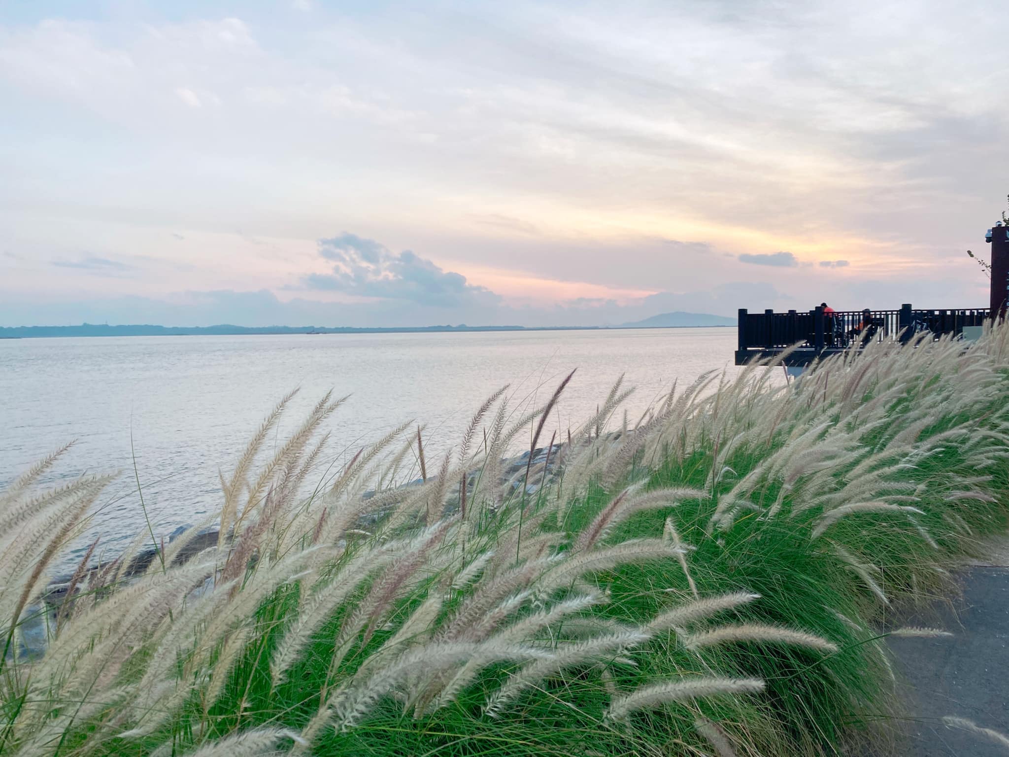 Image by Tiffany Tan from SG PCN Cyclist/Facebook.
She also made sure to snap plenty of pictures of the surrounding scenery with her adorable maltipoo and foldable bicycles in the frame.
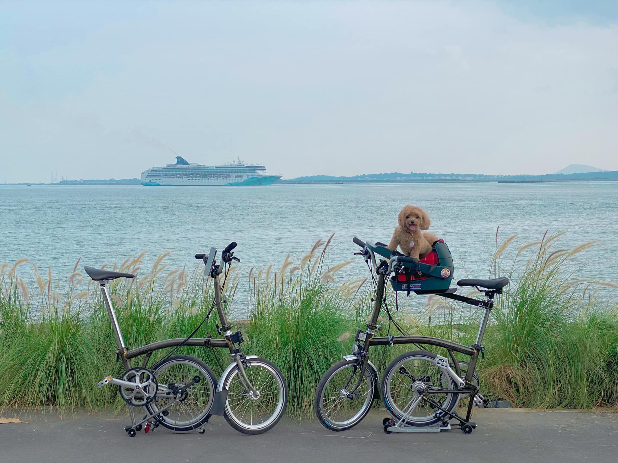 Image by Tiffany Tan from SG PCN Cyclist/Facebook.
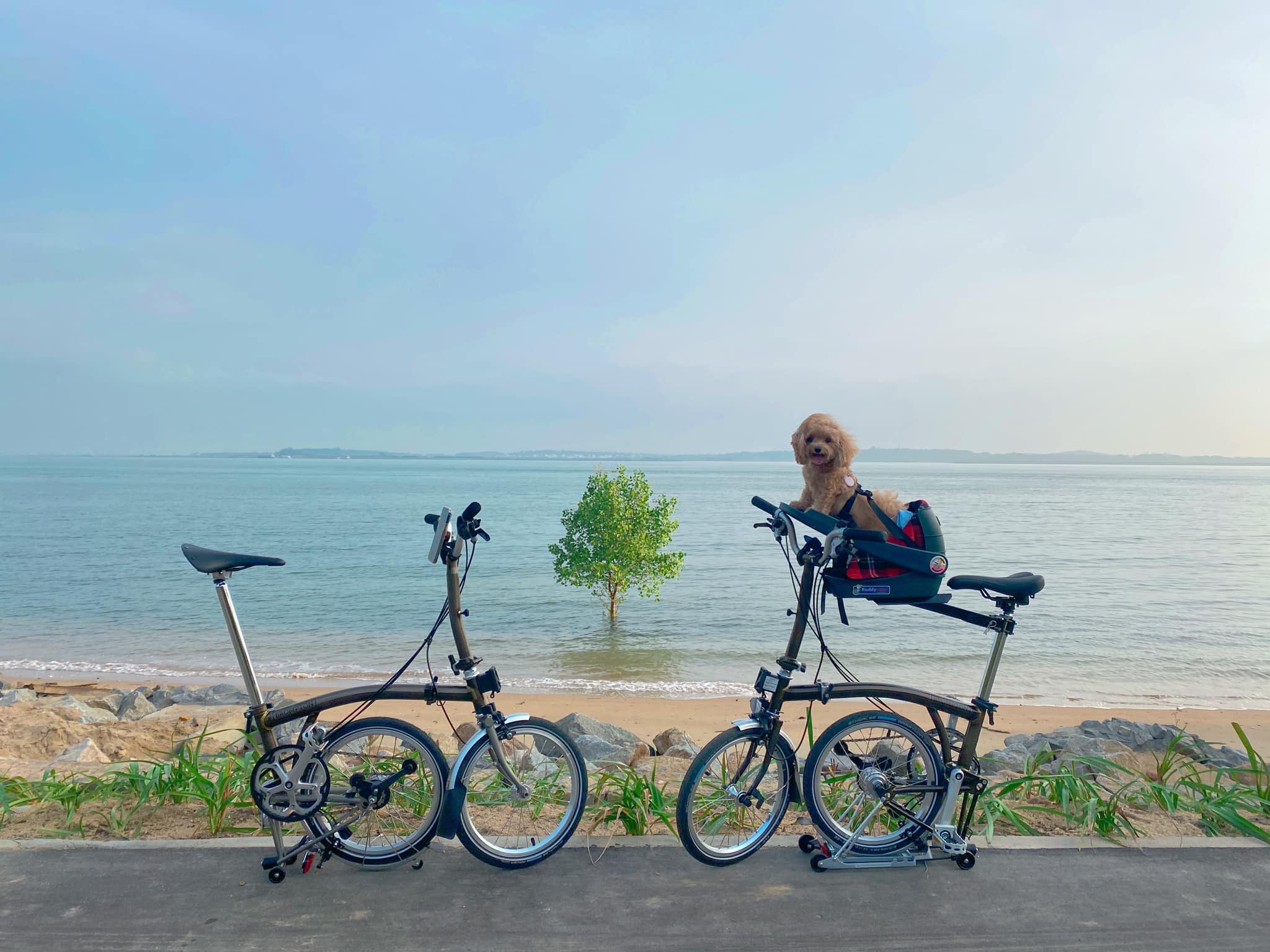 Image by Tiffany Tan from SG PCN Cyclist/Facebook.
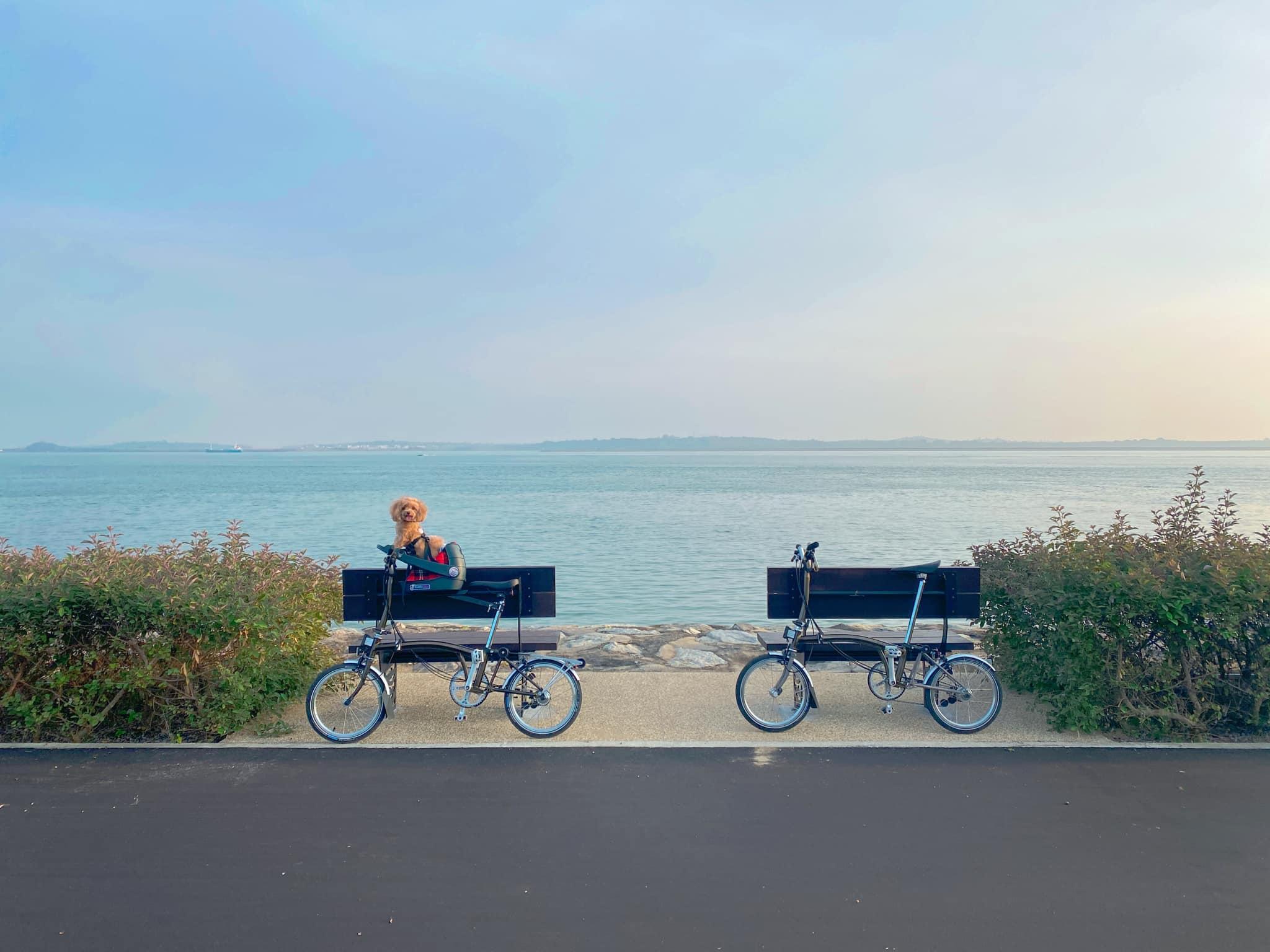 Image by Tiffany Tan from SG PCN Cyclist/Facebook.
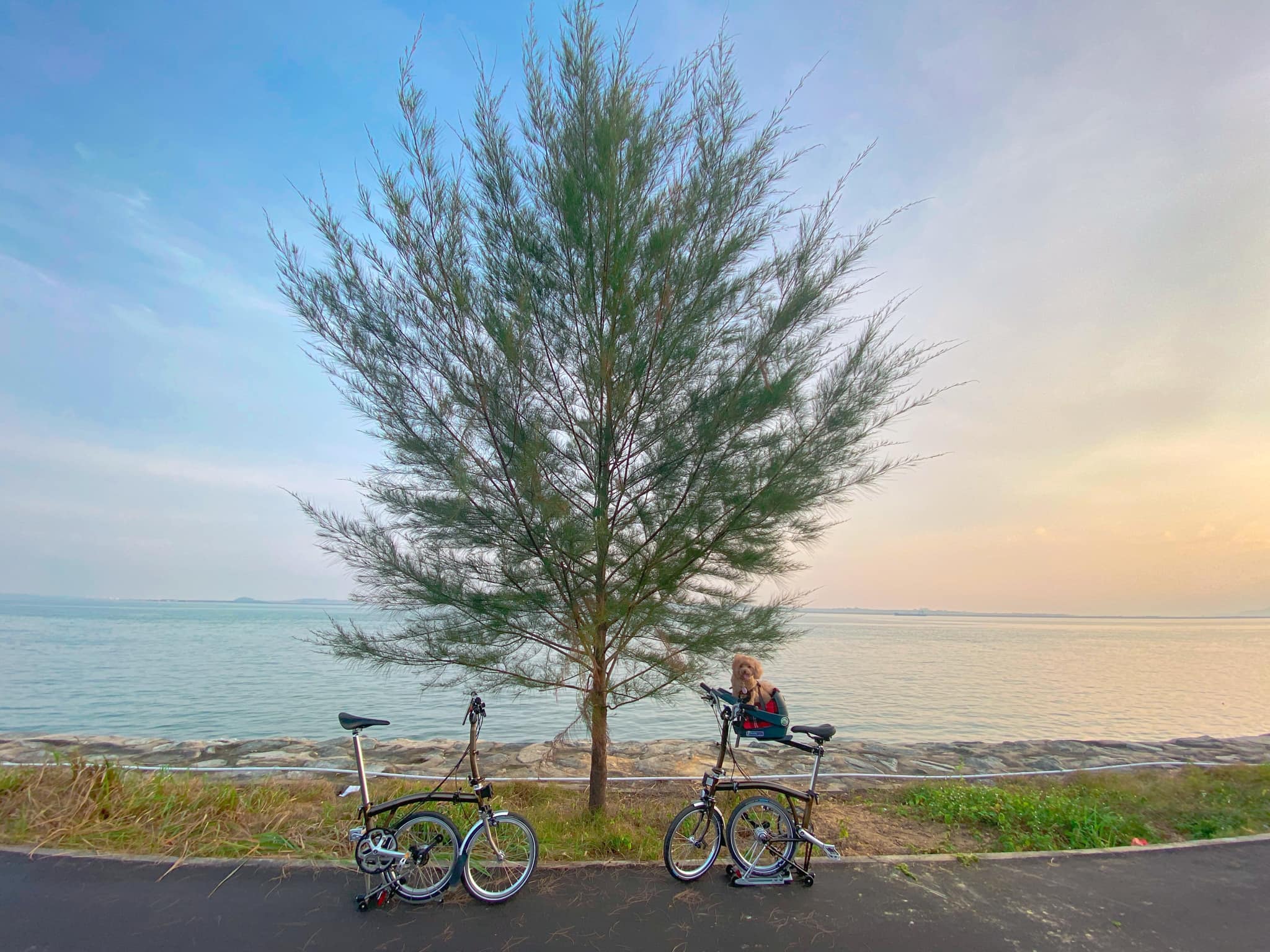 Image by Tiffany Tan from SG PCN Cyclist/Facebook.
Similarly, another park goer on TikTok has drawn parallels between the new Changi Bay PCN and Jeju Island:
@notkaisiangsin jeju island from value store vibes🤪. #foryou #tiktoksg ♬ original sound - Flyysoulja
About Round Island Route
Spanning 3.6km-long, Changi Bay PCN connects Changi Beach Park to the East Coastal Park Connector Network.
It is part of the eastern half of the Round Island Route which opened on the same day.
The 75km-long route includes points like Rower's Bay Park, Sengkang Riverside Park, East Coast Park, Singapore River and Berlayer Creek.
Once fully complete in 2035, the Round Island Route will stretch 150km long, which makes it Singapore's longest recreational connection that loops around the island.
Here's a map of the Round Island Route, with the now-open Eastern Half coloured in red:
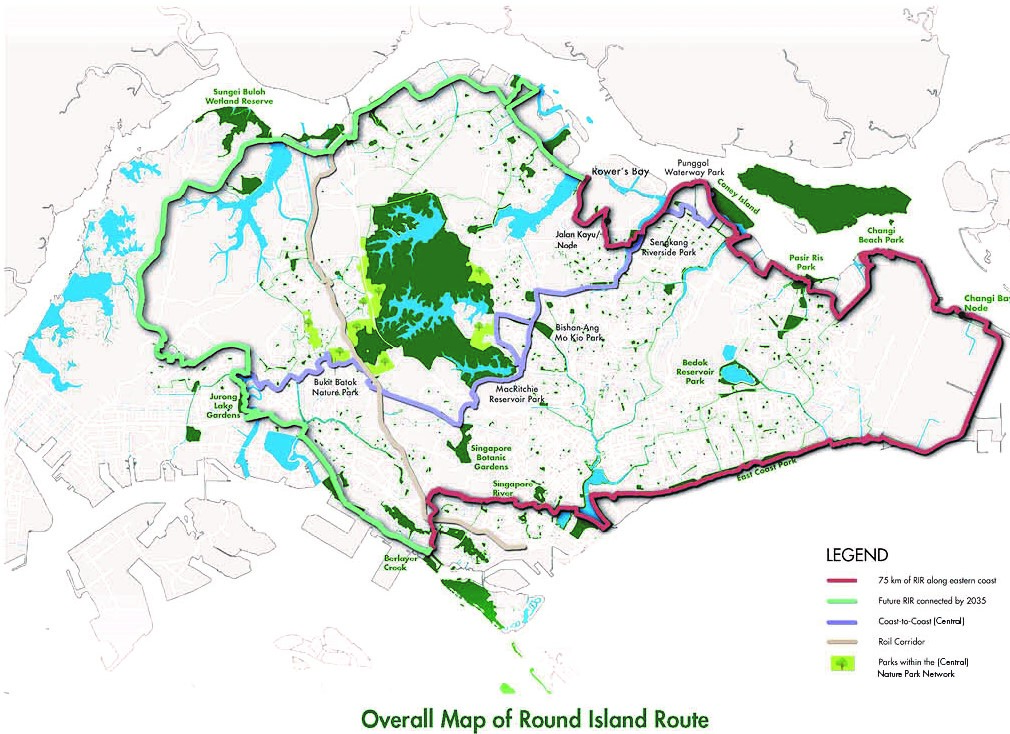 Map by NParks.
Related story
Follow and listen to our podcast here
Top image by Tiffany Tan from SG PCN Cyclist/Facebook
If you like what you read, follow us on Facebook, Instagram, Twitter and Telegram to get the latest updates.