Follow us on Telegram for the latest updates: https://t.me/mothershipsg
On August 14, staff at the National Science Foundation’s Summit Station woke up to falling rain.
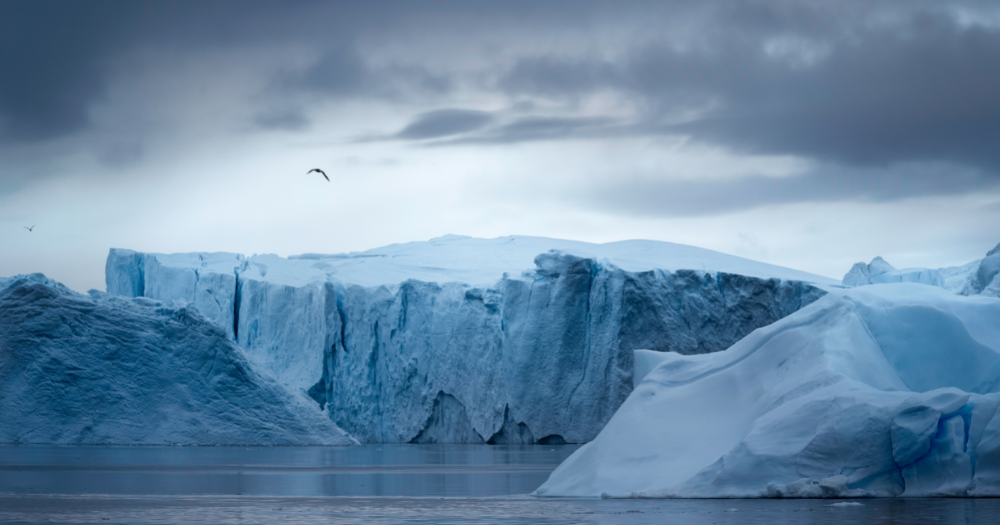
At the highest point on the Greenland ice sheet, 3,216 meters above sea level, there have been no previous reports of rainfall ever since records began.
The precipitation event was so extraordinary that even the researchers at the summit lacked the proper rain gauges on hand to measure the event, according to The Washington Post.
The largest rainfall event since 1950
The National Snow and Ice Data Centre said that the rain event dumped 7 billion tons of water on the ice sheet, the heaviest since records began in 1950.
This occurred because temperatures rose above freezing point.
While Greenland experiences precipitation occasionally, it has never been known to rain at its summit.
According to Indrani Das, a glaciologist with Columbia University's Lamont-Doherty Earth Observatory, this is "not a healthy sign for an ice sheet".
She added that water would make the ice sheet "more prone to surface melt".
Not only is this because water warmer than snow, but water is also less reflective, therefore a better absorber of heat, Reuters reported.
The centre's deputy lead scientist Twila Moon said that the rain event at the summit of Greenland is "not an isolated event", but just one of many "alarm bells" signalling the need to reduce greenhouse gas emissions.
Widespread melting of Greenland is a recent occurrence
The rain also coincided with warmer temperatures which saw temperatures rise above freezing for the third time in less than a decade.
Air temperatures remained above freezing for about nine hours, which also contributed to a surface ice mass loss that was seven times above the average for mid-August.
According to National Snow and Ice Data Centre, the cause for this event is similar to another extensive melting event that occurred this late July, where air circulation patterns worked to push warm air and moisture in from the south.
Melt events have been observed in 1995, 2012, and 2019, but aside from an event in the late 1800s, ice core data has not indicated such melting of the Greenland ice sheet.
The severity of melting is also accelerating, with 2012 and 2021 being the only years with more than one melt event of 800,000 square kilometres in extent.
This time round, the melt extent peaked at 872,000 square kilometres.
About the Greenland ice sheet
The Antarctic and Greenland are home to the only two ice sheets on Earth, which contain more than 99 per cent of freshwater ice on Earth.
Ice sheets form from the accumulation of snow, but Earth's warming climate means that Greenland has been losing more ice than it gains each year.
The Greenland ice sheet has been around for more than 100,000 years, and covers most of the island of Greenland.
Reuters reported that Greenland's rapid melting has caused around 25 per cent of the global sea level rise seen over the last few decades.
If the Greenland ice sheet were to fully melt, scientists estimate that sea level would rise about six metres.
Related stories:
Follow and listen to our podcast here
Top image via Getty Images
If you like what you read, follow us on Facebook, Instagram, Twitter and Telegram to get the latest updates.