




Abroad


Nepal flash floods: Avalanche at mountain in Nepal occurred after glacier broke away
The cause of the floods is still being investigated.
August 27, 2026, 05:01 PM
Social media


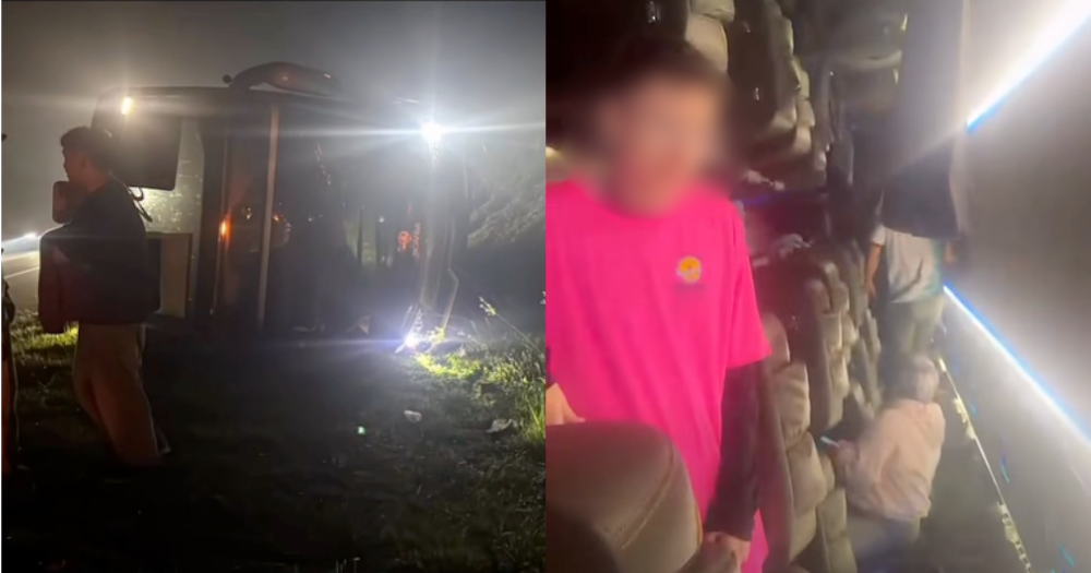
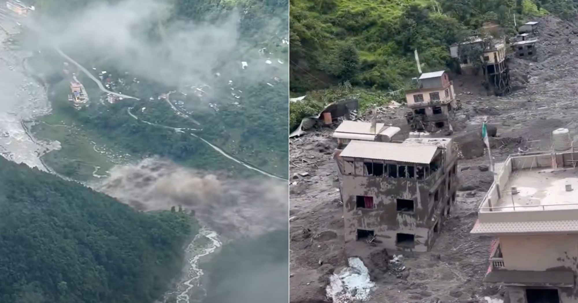
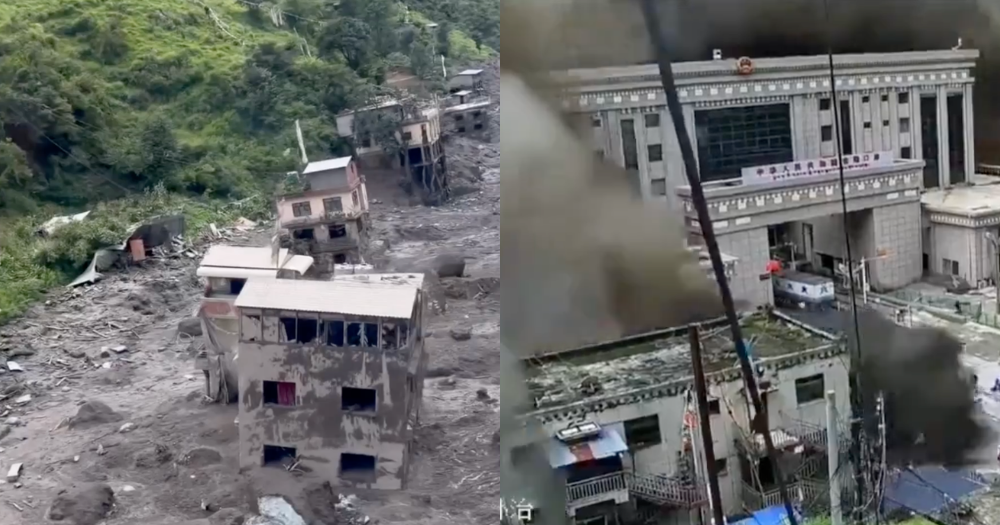
Flash floods and mudslides swept through mountainous areas along the Nepal-Tibet border on Aug. 26, 2026.
At least 177 people have been killed, CNN reported.
The death toll is expected to rise.
Nearly 1,500 people are missing across the region, Al Jazeera reported.
In Nepal, 826 people were reported missing a day after the incident, including almost 600 foreign tourists.
Among those reported missing in Nepal are:
India: 177
United States: 63
Australia: 34
United Kingdom: 33
Canada: 25
In Tibet’s Gyirong County, Chinese state media reported that 558 people were missing, including 260 foreign nationals.
No rain, no warning
The deluge, which consisted of mud and rocks, swept through the Lhende Khola river valley.
At least 19 bridges and about 40km of roads were washed away, along with homes and other critical infrastructure.
There was no warning as it was not raining at the time.
Satellite data: Avalanche at mountain in Nepal after glacier broke away
Satellite images from Planet Labs have shed light on what happened on Aug. 26 morning, Reuters reported.
According to Nepal Times, a huge avalanche on the north face of Mount Langtang Lirung coincided with a 4.4-magnitude earthquake near the border with China at 8:37am (Nepal time).
Mount Langtang Lirung stands at 7,245m and is located 45km directly north of Kathmandu, Nepal.
The mountain is wholly within Nepal.
A substantial section of the lower end of the glacier broke away at an elevation of about 5,200m and plunged about 1,200m onto the valley floor, gathering rock and sediment as it fell, Reuters reported.
1,200m is 1.2km.
The debris flow from the avalanche blocked the Lhende Khola — a Himalayan river originating in Gyirong County, Tibet, which flows into Nepal — that marks the border with China.
The river was already swollen due to the monoon season, Nepal Times reported.
A lake burst soon after, sending a wall of mud and boulders racing down the Trishuli River — a major river in central Nepal — into Nepal.
Water levels in the Trishuli reportedly rose by as much as 9m in just 30 minutes.
Earthquake likely didn't cause slope collapse
Experts were initially divided about whether the earthquake caused the slope collapse on the north face, or whether the avalanche was so massive that it caused the seismic event.
The United States Geological Survey (USGS) initially thought that the earthquake caused the slope collapse, but later revised its assessment, saying the seismic signal had been generated by the landslide itself rather than an earthquake, Al Jazeera reported.
The landslide eventually registered as a magnitude 5.2 seismic event.
Some of the worst damage occurred in Nepal’s Rasuwa district, immediately south of the Chinese border.
Can't determine cause yet
It is still too early to determine what caused this specific event, Al Jazeera reported.
As glaciers melt, break up, and get smaller, mountain slopes become unstable.
Meltwater can accumulate in or around glaciers, increasing potential for sudden floods.
Unusually warm conditions around the affected glacier were detected by satellite before the collapse.
Researchers are investigating whether melting contributed to the glacier’s instability.
Previous incident
A massive 7.8 magnitude earthquake in April 2015 triggered an avalanche on Mount Langtang Lirung's south face, which fell into the glacier below and buried the village of Langtang.
At least 300 people were killed.