In days gone by, Singaporeans were served by two measly MRT lines: North South and East West.
When the first section of the North South Line started operations on Nov. 7, 1987, it announced Singapore's Second World status as there were five stations over six kilometres.
Fifteen more stations were opened subsequently -- and we were in the big league -- as the MRT system was officially launched on March 12, 1988.
The opening of Boon Lay on the East West Line on July 6, 1990, marked the completion of the system two years ahead of schedule, after an additional 21 stations were added.
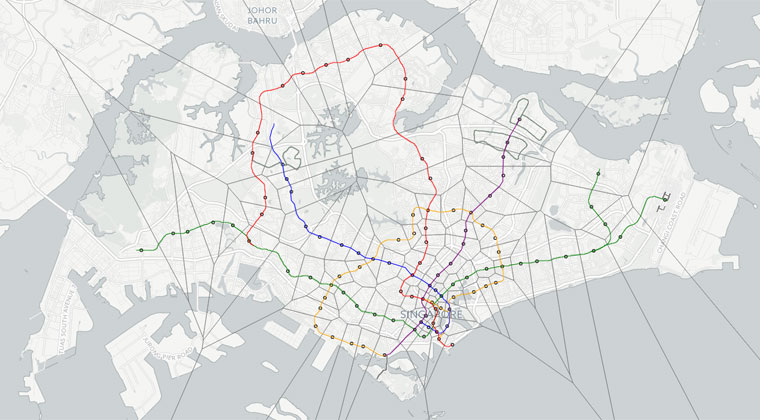
Fast forward to today, where there are 102 stations island-wide in operation, with more coming up, as seen in this map:
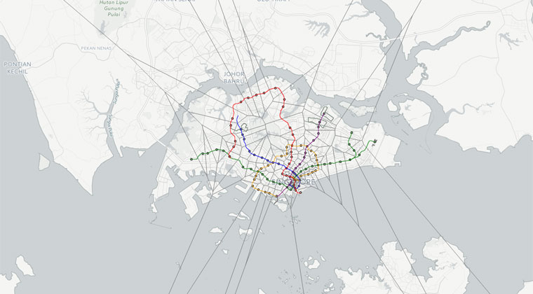 Click on map to go to original site
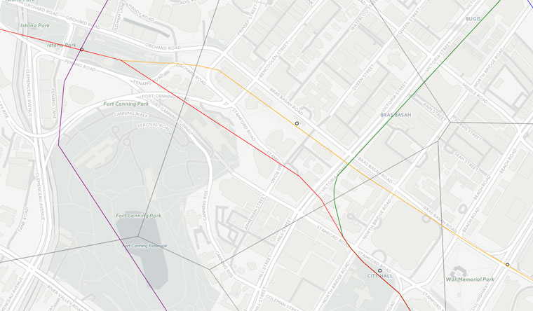
What's interesting about this map is that it allows you to zoom in to see what route the various lines take, especially when a lot of them are underground.
It also readily visualises the concentration of stations in the downtown south compared to the poverty of stations up north.
According to the map, a lot of the lines follow major roads, with one interesting detail being that the North South Line actually goes under part of the Padang.
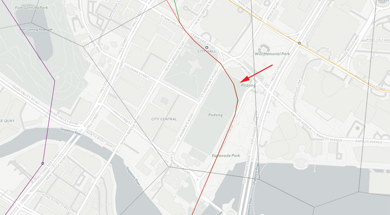
Previously, such details were glossed over:
Over the years, the total length of tracks have been increasing leaps and bounds, with the expansion of the 67km of track in 1995 to 360km in 2030. It was expected that daily ridership in 2030 would grow to 6.0 million from the 1.4 million passengers in 1996.
With the Singapore government’s open data initiative kicking off, more of such information can be plotted and graphed for all and sundry to see and use.
The creator of this map previously made a heat map of where all the taxis are in Singapore at any given time.
Related article:
Amazing heat map by 1st-year NUS student shows all your taxis are in Changi Airport
If you like what you read, follow us on Facebook, Instagram, Twitter and Telegram to get the latest updates.